Surveying
Port Arthur, Texas
2016-2017 (Phases I and II)
2017-2018 (ETA for Phases III and IV)
City of Port Arthur Infrastructure GIS Mapping
Innovation. LJA developed customized applications for collection of asset data in the field with direct rapid deployment of the data for visualization in an online GIS mapping portal. Each phase was completed in approximately 45 days using this method.
The City of Port Arthur serves an area of nearly 88 square miles with a population of 53,818. The City is organized into 15 departments and provides a full range of municipal services to its citizens including fire and police protection, water and sanitary sewer utilities, solid waste removal and disposal, transit, construction of streets, drainage, and other infrastructure, and services related to recreational and cultural activities.
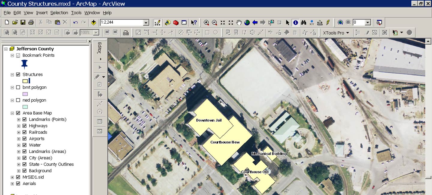
The objective of this project was to locate City infrastructure assets utilizing GPS and create a geodatabase with associated maps to build an inventory of City assets. These assets included fire hydrants, water valves, water meters, sanitary sewer manholes, storm sewer manholes, lift stations, catch basins, drop inlets, traffic signs, street and traffic lights, bus shelters, handicap ramps, and benchmarks.
The project was divided into four budget phases with a planned delivery schedule of one phase per fiscal year. Phase 1 has been completed and included an area covering approximately 8.24 square miles in the oldest and most densely populated part of the city, including the downtown business district. Phase 2, also completed, covered an area of approximately 9.5 square miles in the newest part of the city that includes commercial districts and urban residential districts.
For more information regarding this project, please contact Jeremy Russell, RPLS at jrussell@lja.com.
Services
Infrastructure Mapping
GPS
 Return To Top